


Reference Maps:
Map Transparency:
- 0%
- 50%
- 100%
MDT Analysis 
Upload Land Disturbances Data
Avoidance Analysis
Offset Analysis
Map Tools 
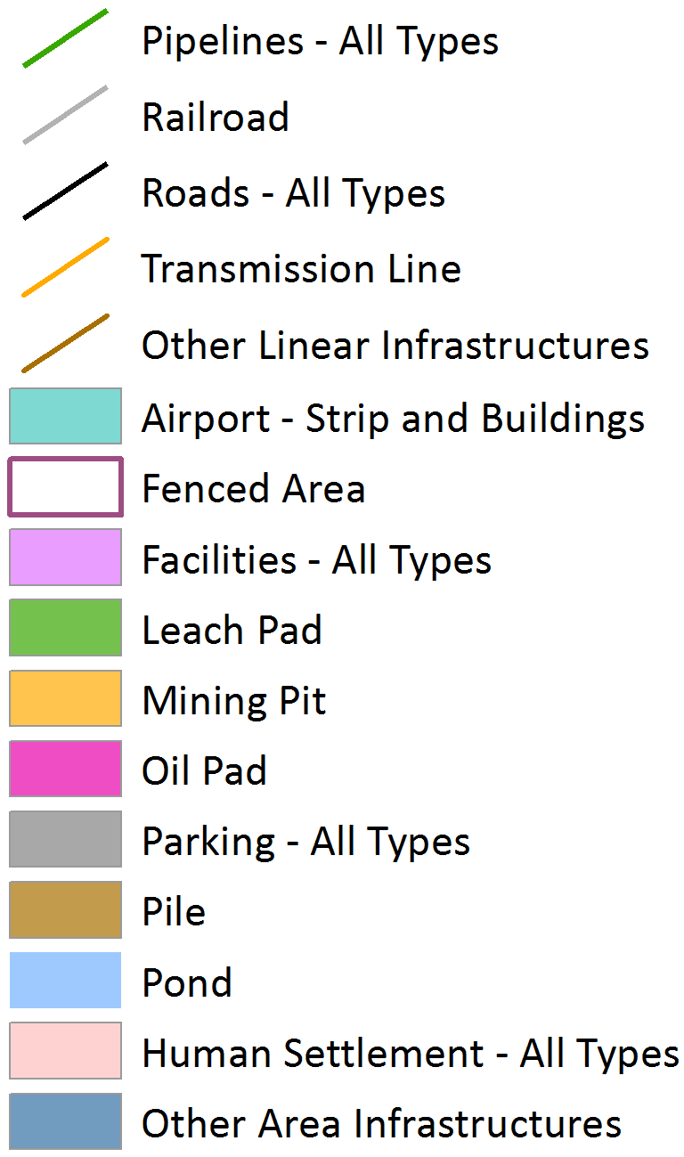
Land Disturbance Legend 
| Title: | |
| Author: | |
| Legend: | |
| Size: | |
| File type: | |
| Print: |
| Name: | |
| Affiliation: | |
| Country: | |
| Email: | |
| Accept Data Use Clause | I agree. |
| (View Clause) | |
| Longitude: | |
| Latitude: | |
| Zone: | |
| Easting: | |
| Northing: | |
For more information and requirements of zip and shapefile, click here. Zip file must contain at minimum the .shp, .shx, .dbf, and .prj files.
Required Steps:
1) Upload Land Disturbance Data:
2) Identify field name with land disturbance codes:
| LD Layer Name | LD Code Field |
|---|---|
3) Check land disturbance data:
Required Steps:

1) Land disturbances uploaded and checked:

2) Submit analysis:
Output: (once analysis is completed, a new link below will provide access to the results)
Required Steps:
1) Land disturbances uploaded and checked:
2) Select project life:
3) Input project name:
4) Submit analysis:
Output: (once analysis is completed, a new link below will provide access to the results)